
Administrative Divisions of the Roman Empire c. 14 CE (map)
Tracey J. Kinney
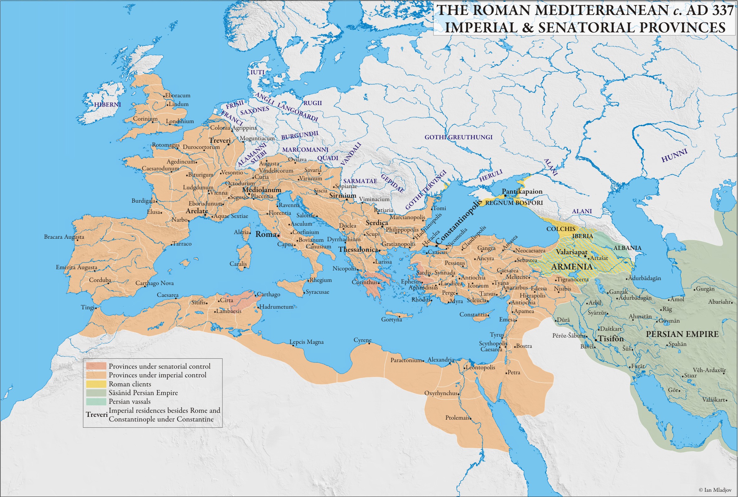
By 14 CE, Rome’s territorial extent included the entire Mediterranean Sea. This large territory was separated into various provinces in order to govern it more easily. The relationship between these provinces and the empire varied; some were ruled directly by the Roman emperor/state; some were managed by members of the Roman Senate; while some existed relatively autonomously, maintaining good relations with Rome as client states.
Questions for Consideration
- How much of Rome’s empire was actually controlled by the emperor?
Media Attributions
- The Imperial and Senatorial Provinces of the Roman Mediterranean c.337 AD © Ian Mladjov is licensed under a CC BY (Attribution) license
